Floodplain meadows in Poland have undergone substantial reduction and degradation over the past century, primarily through river channelisation, artificial drainage and the intensification of agriculture in river valleys. Remaining fragments retain high botanical diversity and support characteristic assemblages of invertebrates and wading birds. Their restoration involves reversing drainage, adjusting land management, and in some cases reintroducing plant species that have been lost locally.
What Constitutes a Floodplain Meadow
In the Polish lowland context, floodplain meadows (łąki zalewowe) are semi-natural grasslands occupying inundation zones adjacent to rivers. They are characterised by periodic flooding — most commonly in late winter or spring — that deposits silt, maintains anaerobic soil conditions at shallow depth, and suppresses competitive grasses and shrubs that would otherwise dominate.
Floristically, these habitats are associated with communities classified under the EU Habitats Directive Annex I types 6440 (Alluvial meadows of river valleys of the Cnidion dubii) and 6510 (Lowland hay meadows). These communities include species such as great burnet (Sanguisorba officinalis), meadow foxtail (Alopecurus pratensis), marsh marigold (Caltha palustris) and snake's-head fritillary (Fritillaria meleagris), the last of which is associated with wet meadows along the Vistula and Narew valleys.
Causes of Degradation
Several interacting pressures have reduced floodplain meadow extent and quality across Poland:
- Drainage: Installation of ditch networks and tile drains lowered water tables in river valleys through the mid-twentieth century, converting wet meadow to more productive dry grassland or arable land.
- Channelisation: Straightening and deepening of river channels reduced lateral connectivity between the main channel and the floodplain, eliminating the periodic flooding that these habitats require.
- Agricultural intensification: Conversion to silage production, increased fertiliser application and more frequent cutting shifted species composition towards competitive, nutrient-demanding grasses.
- Abandonment: In areas where agriculture became economically unviable, cessation of mowing allowed tall herbs, ruderal species and eventually scrub to colonise, shading out the characteristic low-growing meadow flora.
Restoration Approaches
Rewetting
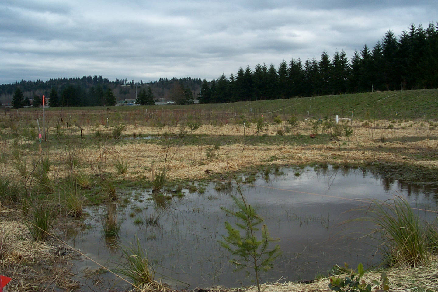
Where drainage infrastructure remains functional, its partial or complete removal can restore higher water tables on adjacent grassland. Blocking drainage ditches with peat or timber dams raises water levels progressively. The rate of change should be managed to avoid sudden inundation of infrastructure or land in use. Rewetting is most straightforward on former wetland soils (organic or gleyed mineral soils) where the original hydrology is better understood.
Resumption of Traditional Cutting Regimes
Floodplain meadow communities developed under periodic hay cutting, typically once in late June to July and sometimes again in autumn. Restoring this regime on abandoned grassland can shift species composition back towards characteristic meadow flora within a number of years, provided a soil seed bank or adjacent source population exists. On highly degraded sites that have been under arable cropping, soil seed banks are typically depleted and species reintroduction is required.
Green Hay Transfer and Seed Spreading
Transfer of freshly cut hay from a donor meadow — containing ripe seed — to a prepared receptor site is a well-established method for introducing meadow species. The technique relies on the availability of a suitable donor site in the same river valley. In Poland, reference meadow sites within Natura 2000 areas along the Narew, Biebrza and middle Vistula are potential donor sites, though any transfer requires coordination with site managers and appropriate permissions.
Grazing Management
Where hay cutting is not practical, extensive grazing with cattle or horses at low stocking densities can maintain the open conditions required. However, overgrazing of wet meadow margins causes soil compaction and bank erosion. Rotational grazing systems, excluding stock from the wettest zones, are more compatible with conservation objectives.

Key Sites in Poland
Several river valleys in Poland contain significant remaining floodplain meadow areas that are the subject of ongoing monitoring and management:
- Narew National Park (Białystok region): An anastomosing river system with extensive wet meadow mosaics, designated as a Ramsar wetland site and Natura 2000 area. The Narew valley grasslands support breeding populations of corncrake (Crex crex) and aquatic warbler (Acrocephalus paludicola).
- Biebrza National Park: The largest national park in Poland, encompassing peat bog and wet meadow complexes in the Biebrza River valley. Annual mowing programmes maintain open grassland habitats against scrub encroachment.
- Middle Vistula valley (between Warsaw and Puławy): Retains semi-natural floodplain conditions including sand and gravel bars, willow scrub and wet meadow fragments, though these are under pressure from proposed channelisation works.
The Habitats Directive (92/43/EEC) Annex I habitat types 6440 and 6510 include alluvial and lowland hay meadow communities characteristic of Polish river valleys. Their favourable conservation status is monitored under national reporting to the European Commission.
Monitoring Restoration Progress
Botanical survey using fixed quadrats provides a repeatable measure of species composition change over time. In Polish practice, monitoring of Natura 2000 habitats uses standardised methodology published by the Chief Inspectorate for Environmental Protection (GIOŚ), which includes indicator species lists and structural criteria for assessing habitat quality.
Hydrological monitoring — water level loggers in shallow piezometers — documents the effectiveness of rewetting measures and helps calibrate ditch-blocking interventions. The relationship between spring flood duration and meadow floristic diversity is well documented for Central European floodplain systems.
References
- Generalny Dyrektor Ochrony Środowiska. Monitoring of Natura 2000 habitats in Poland. gdos.gov.pl
- European Commission. Habitats Directive 92/43/EEC. Annex I habitat types. environment.ec.europa.eu
- Ramsar Convention. Narew National Park Information Sheet. ramsar.org